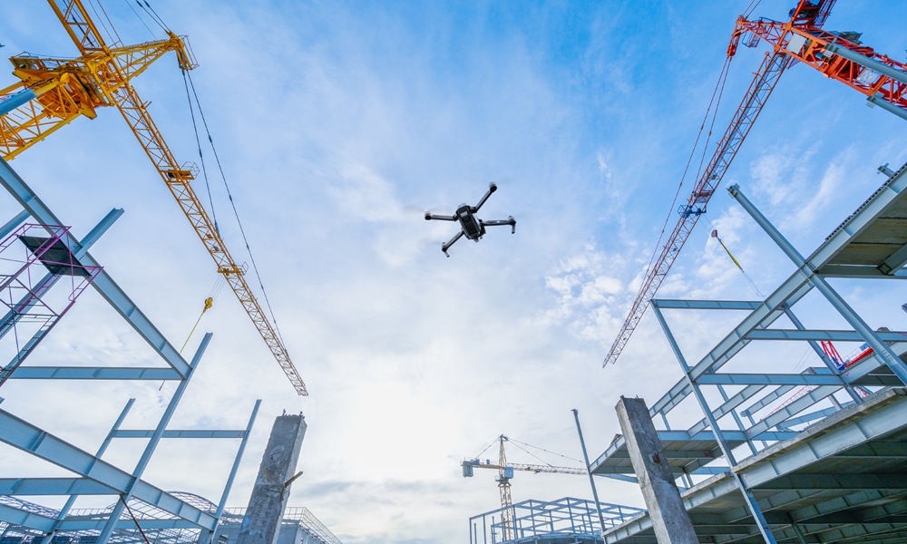
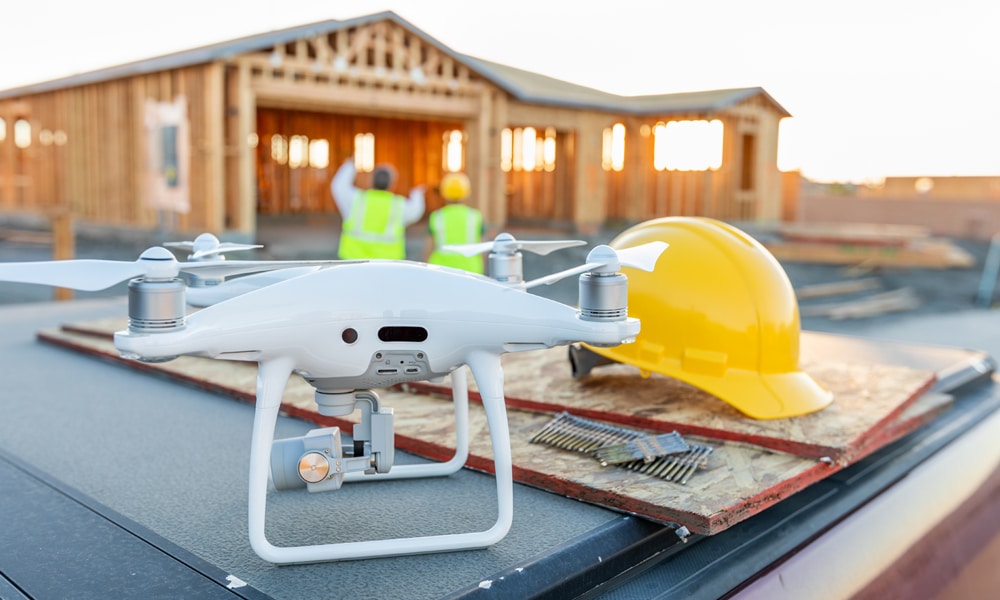
Drone Construction Services
Drone Services for Construction Projects
Construction companies can benefit from drone services for construction in several powerful ways:
- Advanced Drone Mapping: Create detailed topographical maps and 3D models for comprehensive site visualization and planning.
- Consistent Progress Tracking: Employ drones for regular aerial surveys to monitor construction progress and manage timelines effectively.
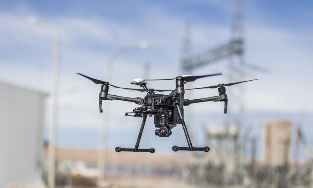
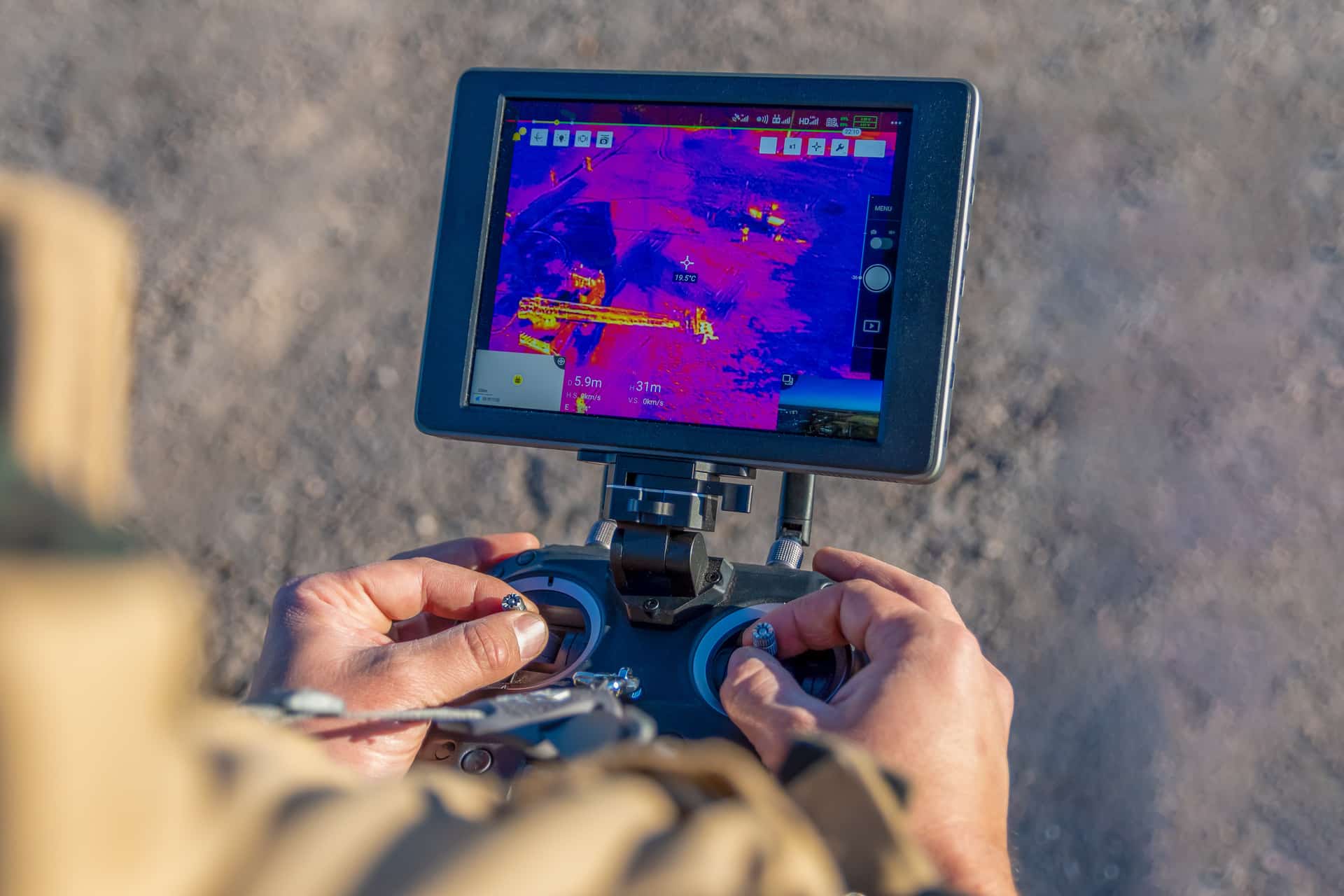
- Remote Inspection Capabilities: Utilize drones for safe and thorough inspections of high-risk areas, enhancing worker safety and site intelligence.
- Precise Measurement Tools: Leverage drone-mounted sensors to obtain accurate measurements for efficient material and resource management.
The specific tasks and the type of sensors and cameras used will depend on the specific needs and requirements of the construction company.


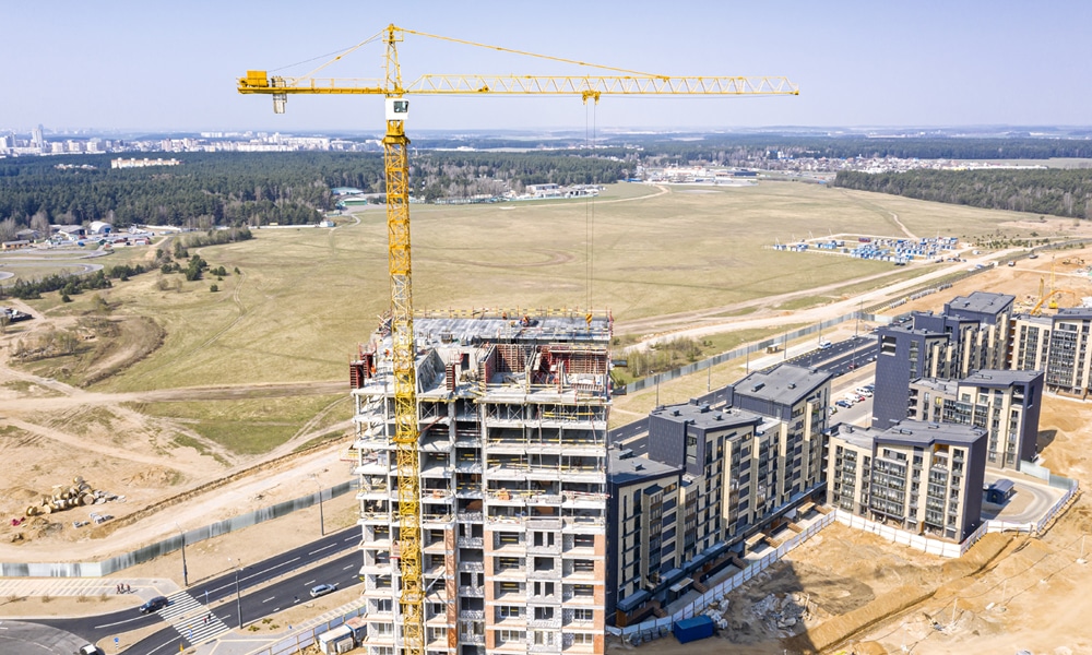
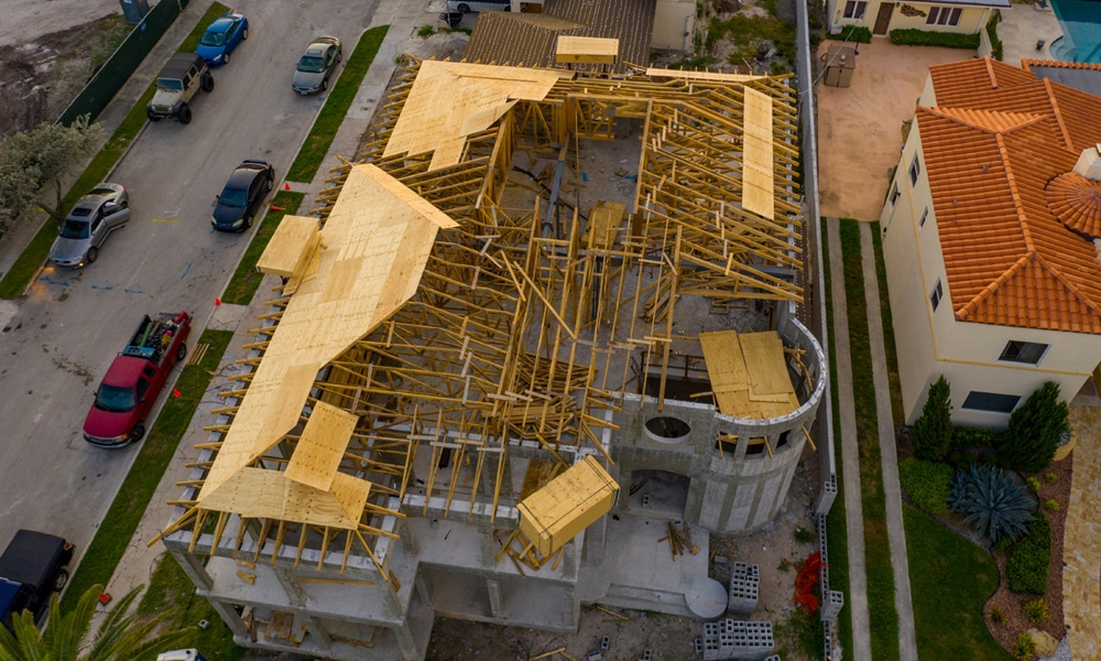
Site Mapping & Modeling Drone Services for Construction
Drones equipped with cameras or lidar sensors can be used for mapping and modeling construction sites in several ways.
- Site Mapping: Capture and process drone data for detailed construction site maps and models, aiding planning and analysis.
- Progress Tracking: Use regular drone footage and visual 3D maps to monitor construction developments, keeping projects on time and within budget.
- Safety Inspections: Conduct drone inspections in hard-to-reach areas to enhance safety and reduce accident risks.
- Measurements: Obtain precise site measurements with drone technology to optimize material use and reduce waste.
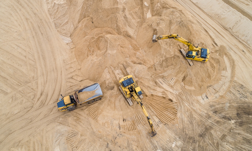
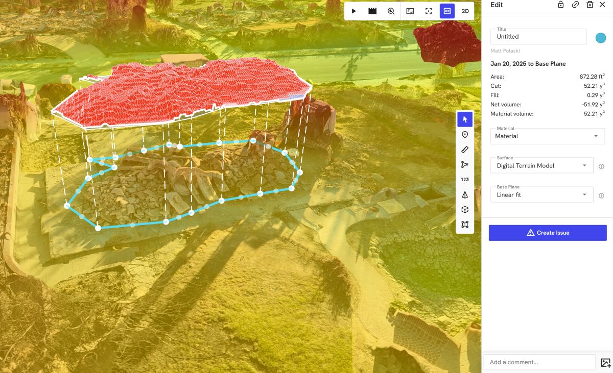
Volumetrics
Drones with cameras or lidar sensors create 3D models of areas for volumetrics, allowing the calculation of object volumes.
By flying over the area and capturing images or lidar data, drones generate a 3D model processed by specialized software. This software compares object shapes in the model to a reference surface to calculate volume accurately, depending on factors like image resolution, lidar density, and drone stability.
Volumetrics serve various purposes, including measuring stockpile volumes and aiding construction projects, often combined with other data sources for enhanced precision.
Drone 3D and 360' Flyovers Panorama
Drones with cameras create immersive 360-degree tours of construction sites, aiding marketing, training, and documentation.
By flying over the site and stitching together overlapping images or video, specialized software generates seamless tours. Construction companies use these tours to showcase projects, train staff, document progress, and plan future work, offering a versatile tool for project management and communication.