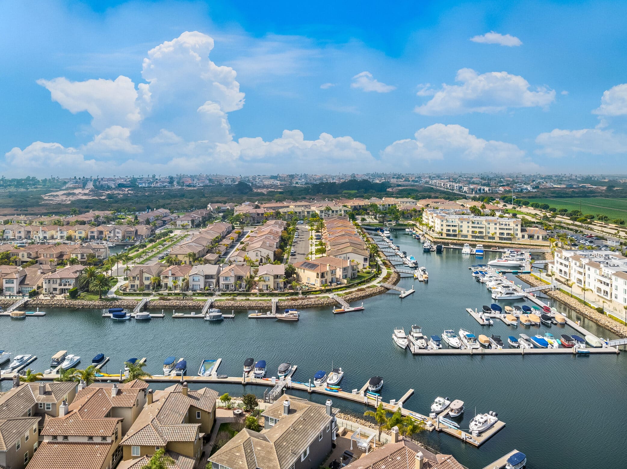
High-quality aerial imagery is essential for showcasing commercial properties, documenting progress, and supporting marketing or investment decisions.
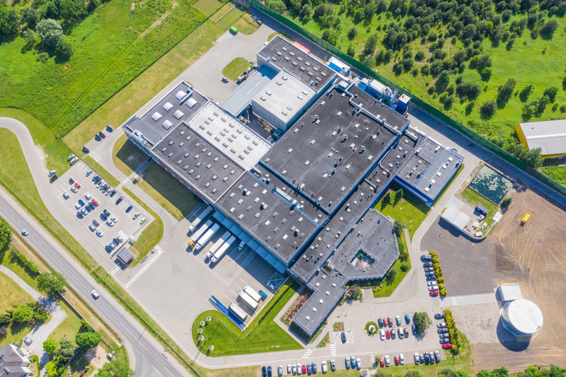
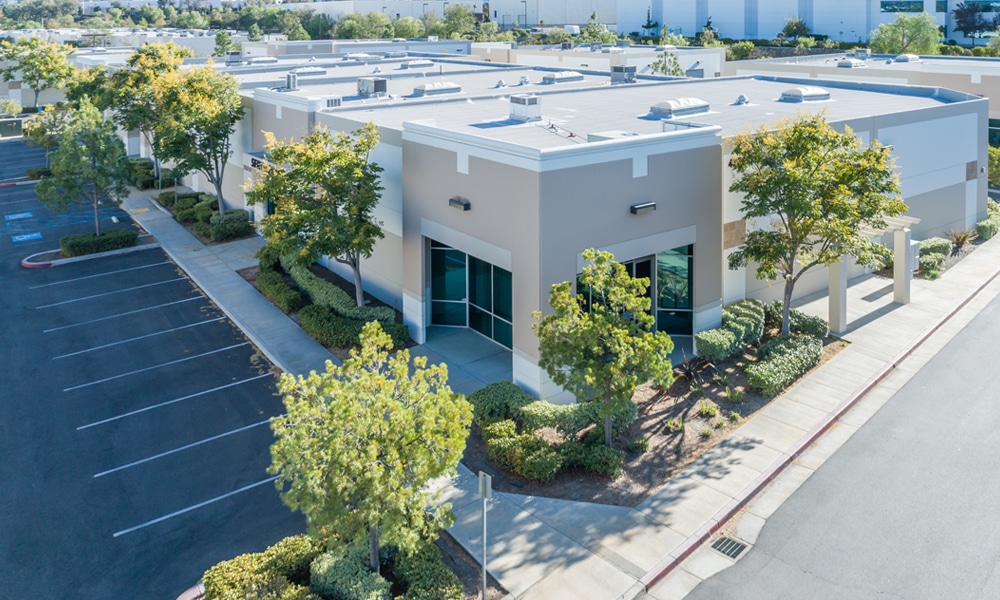
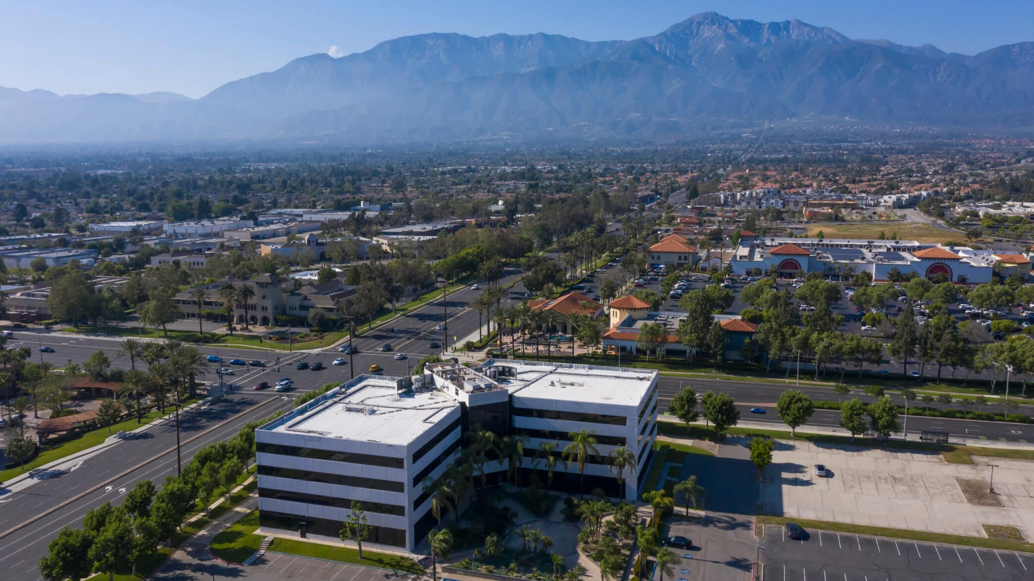
Office & industrial properties
Retail centers & mixed-use developments
Construction progress documentation
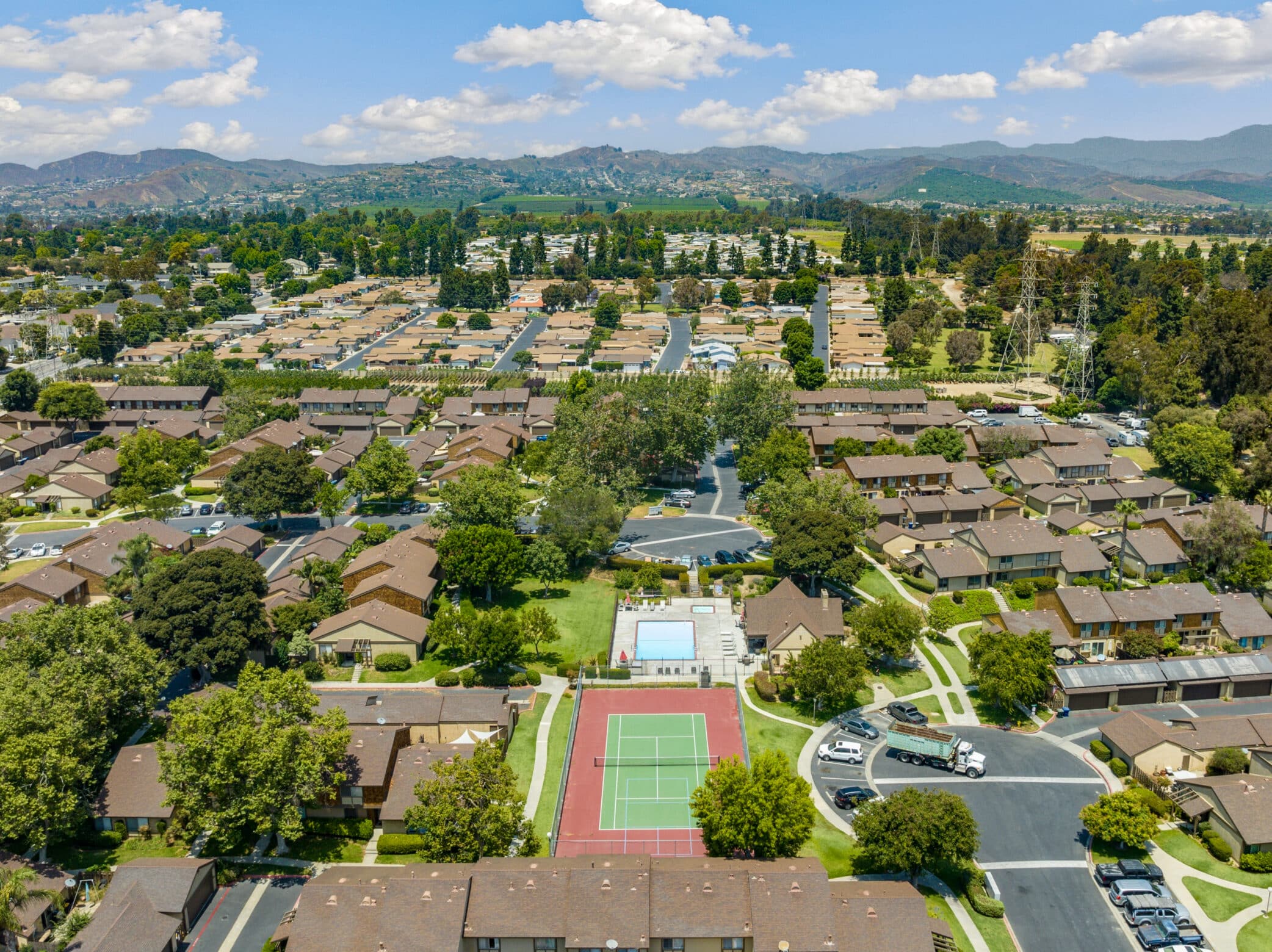
Site context & proximity visuals
Marketing-ready aerial photos & video
Amped Aerial provides professional drone photography and video tailored for commercial real estate, construction, and development projects. Every flight is planned with purpose highlighting access, scale, layout, and surrounding infrastructure.
Enterprise-grade drones and stabilized camera systems for consistent results.


