
How solar drone inspection can improve the performance of solar thermal PV stations
In the realm of renewable energy, solar power stands as a beacon of promise, offering a sustainable alternative to traditional
In the realm of renewable energy, solar power stands as a beacon of promise, offering a sustainable alternative to traditional

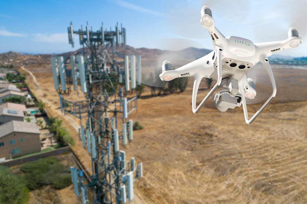
n the realm of infrastructure maintenance, efficiency is paramount. Whether it’s bridges, roads, or buildings, regular inspections are essential to
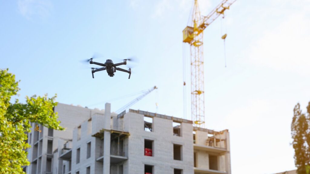
In the modern era of construction, technology is rapidly transforming traditional practices, and one standout innovation is the use of

In the ever-evolving landscape of the real estate industry, innovation constantly reshapes how properties are valued and marketed. Among the
In today’s world, technology has significantly influenced the way we work and interact. With the emergence of digital twin technology,
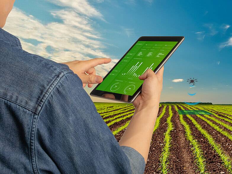
Drones, also known as unmanned aerial vehicles (UAVs), are rapidly becoming a versatile and indispensable tool in a wide range