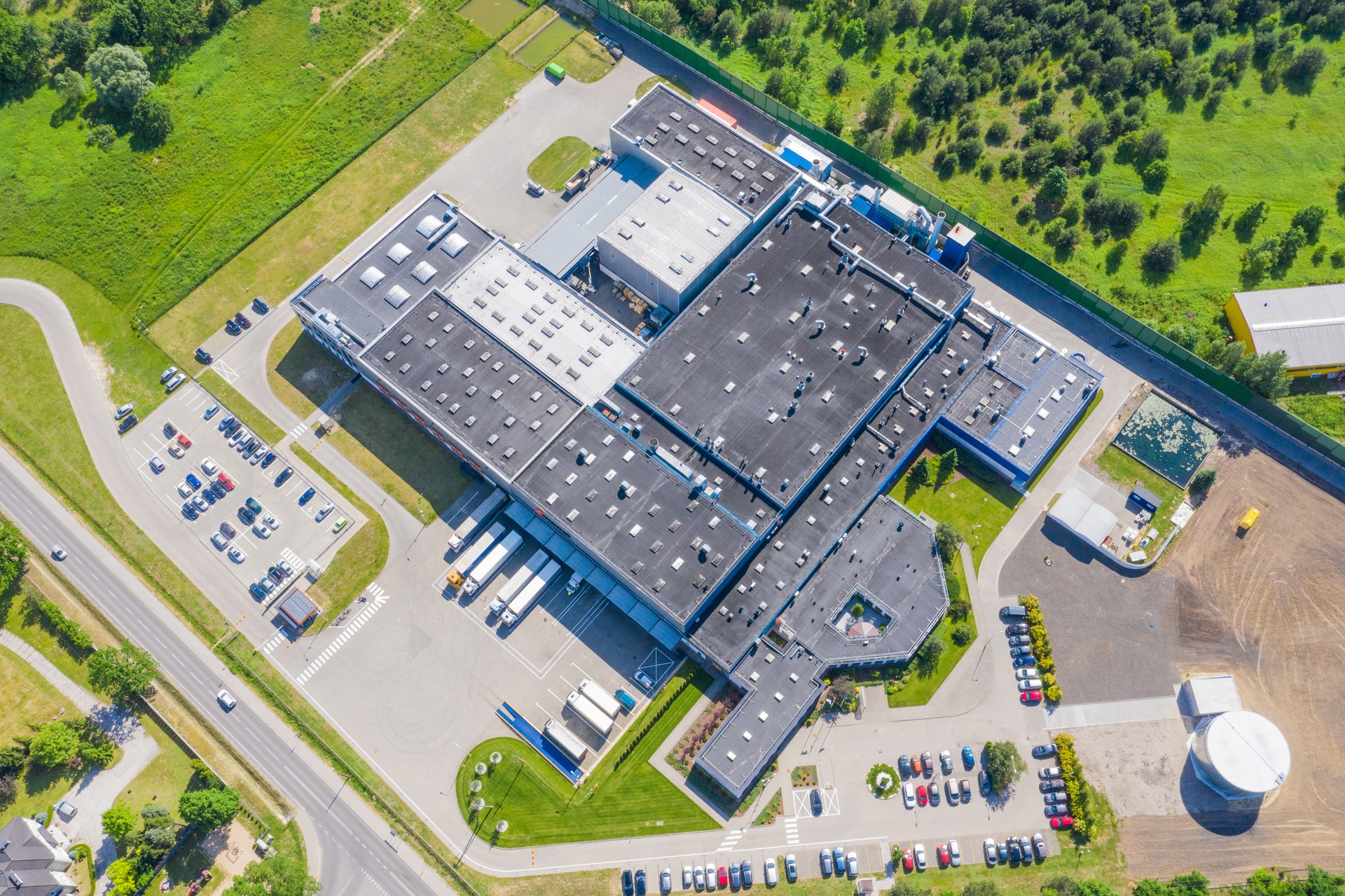
Drone Construction Services
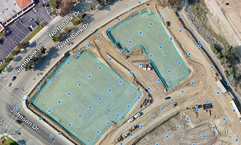
- Advanced Drone Mapping: Create detailed topographical maps and 3D models for comprehensive site visualization and planning.
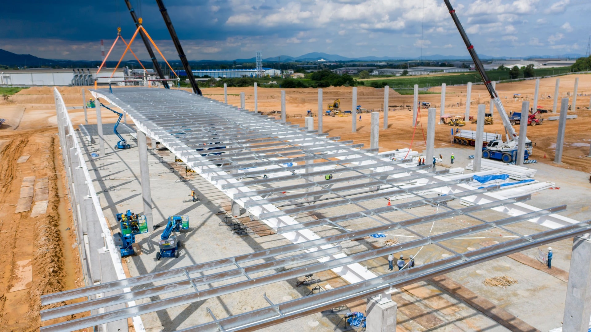
- Consistent Progress Tracking: Employ drones for regular aerial surveys to monitor construction progress and manage timelines effectively.
- Remote Inspection Capabilities: Utilize drones for safe and thorough inspections of high-risk areas, enhancing worker safety and site intelligence.
- Precise Measurement Tools: Leverage drone-mounted sensors to obtain accurate measurements for efficient material and resource management.


- Site Mapping: Capture and process drone data for detailed construction site maps and models, aiding planning and analysis.
- Progress Tracking: Use regular drone footage and visual 3D maps to monitor construction developments, keeping projects on time and within budget.
- Safety Inspections: Conduct drone inspections in hard-to-reach areas to enhance safety and reduce accident risks.
- Measurements: Obtain precise site measurements with drone technology to optimize material use and reduce waste.