As of 2020, the global drone services market was at a value of $7.12 billion.
A drone (or UAS) is a device that can be used for a wide range of applications to the benefit of several industries. But what is a UAS? And what can they be used for?
Keep reading to find out.
What Is a UAS?
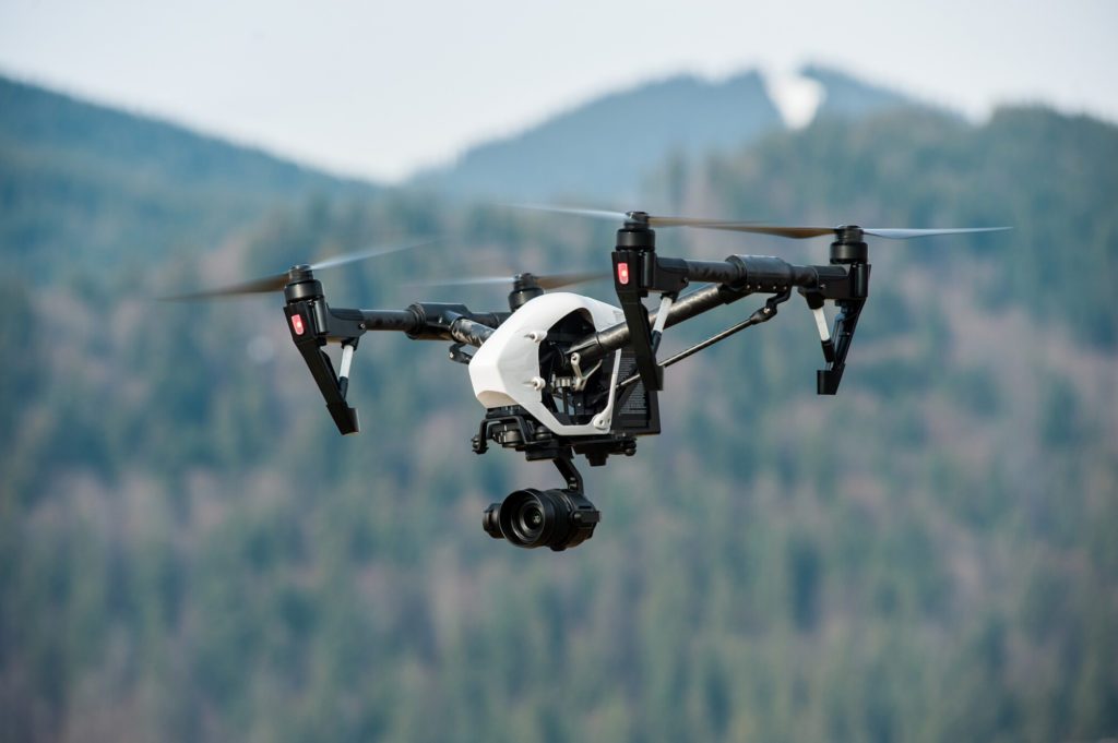
A UAS (unmanned aerial system) is a term that defines a powered aircraft with no onboard pilot, along with all of its supporting equipment such as the control station, navigation equipment, and communications.
There are several names that are interchangeably used for UAS technology, such as UAV (unmanned aerial vehicle), UA (unmanned aircraft), or drones.
What Are Drones Used For?
In recent years, the use of drones has increased massively, and they now serve many purposes, both military and civil. Some of the most common civilian uses include:
- Real estate
- Aerial surveying
- Aerial photos
- Agriculture
- Construction
- Utility inspection
- Film and television
Police forces have also expressed interest in the use of SUAS (small unmanned aerial system) for various public safety purposes. They are inexpensive yet very versatile and can help with tasks like search and rescue, disaster management, and perimeter security.
Beyond this, many hobbyists use drones for things such as photography and videography.
What Can Professional Drone Services Do?
Amped Aerial is a company that offers a range of drone-based services. We provide solutions for industries such as agriculture, real estate, and construction.
3D Modeling and Mapping
With our drones, we can take different types of images, such as thermal and RGB, and use Photogrammetry to create 2D models, 3D models, and orthomosaics. We can do this on any worksite or asset to provide whatever data you need to assist with your project.
All of this can be done without disturbing the work currently taking place, so there is no need to worry about any downtime.
Producing 3D models from the data taken would usually take several days with ground inspections, but using a drone can reduce this to hours. On top of this, there are no safety risks that may be present for inspectors when on a worksite.
We can produce detailed topographical maps showing distances, areas, and volumes, as well as the elevation of the surface without vegetation or structures. Similar results can also be obtained from orthomosaic images, showing true measurements and visual perspectives.
Radiometric Thermal Imaging
Using special infrared sensors, drones can measure heat levels and display them in an image or orthomosaic. From this, you can see the quantity of heat being emitted from an object.
This is a quick and cost-effective way of detecting any anomalies, allowing you to address them immediately, saving your business time and money.
Using this method for a roof inspection can help to locate and identify leaks and roof penetrations much more easily and efficiently than through ground inspection. Drones can also access all areas easily, without anyone being exposed to any safety risks.
Solar farms can also use this service to detect anomalies and problems on their site and manage their solar assets accordingly. In agriculture, this can help to analyze and improve crop health on a farm with ease.
Photography
Different types of photography are available for several purposes relating to commercial property.
As a real estate agent, you can display any property in a range of ways to give potential buyers a better view of what they are investing in. This includes things such as:
- 3D mapping
- Aerial perspectives
- Video tours
- 360 panoramic images
Delivering such high-quality services to clients doesn’t just give them a better view of properties but also shows the level of service you provide.
Other industries can also benefit from these services. For example, construction, retail, insurance, and entertainment can all make use of 360 panoramic imaging to give a view of everything surrounding their site.
Visual Inspections
Sometimes, the advanced technologies that we use with drones aren’t necessary, as performing basic visual inspections in itself is incredibly beneficial.
Within the energy industry, this applies to a number of areas. Wind turbines can experience various issues such as brake or gearbox failures. These can lead to much larger issues and cause potentially dangerous incidents.
Using a drone to inspect turbines is significantly easier and safer than manual inspections, and other information can be gathered simultaneously, such as thermal imaging and structural analysis.
Inspections can also be done on oil and gas lines to save time and maintain safety, as well as other utilities such as powerlines. Similar issues can be present, and again it is much quicker, easier, and safer to perform inspections with a drone.
Other forms of infrastructure can also be inspected easily, such as bridges. This would usually require a lot of equipment, which could cause traffic-related issues on top of the safety risks. A drone will not interfere with traffic at all, making it the most effective solution.
Beyond making things safe by keeping people out of hazardous situations, it’s worth noting that in some of these applications, there are completely inaccessible areas by humans, meaning inspections would be impossible. Drones are the perfect solution for this problem.
Hiring Professional UAS Services
The technology involved and the processes used by professional drone services provide a wide range of advantages. Any of the industries discussed above, and more, can benefit greatly from the use of drones.
Amped Aerial provides top-of-the-line UAS services across the entire West Coast region.
If you have any questions for us or would like to schedule a demo, click here to contact us today. We are always happy to help.